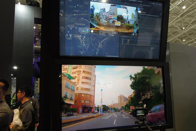
High-definition (HD) maps will be used in combination with data collected by various traffic sensors to become local dynamic maps.
Under the Ministry of the Interior's commission, National Cheng Kung University's Department of Geomatics in Taiwan has set up a national High-definition Maps Research Center to provide HD maps in OpenDrive+Extension format for use in intelligent transportation systems.
Telematics service provider TMS Technologies indicated that such HD maps will hike efficiency in modeling traffic scenarios and broaden scope of using traffic data.
TMS said it can combine real-time traffic data and traffic infrastructure information available at its DataBar-MaaS marketplace with HD maps to produce customized map products based on user needs.
Updating HD maps can rely on sensors installed on taxis, public buses and logistics cars that run along fixed routes or in regular areas to provide latest data, said Thomas Cheng, general manager for transportation consultant Thinktron.